


Rua do Monte
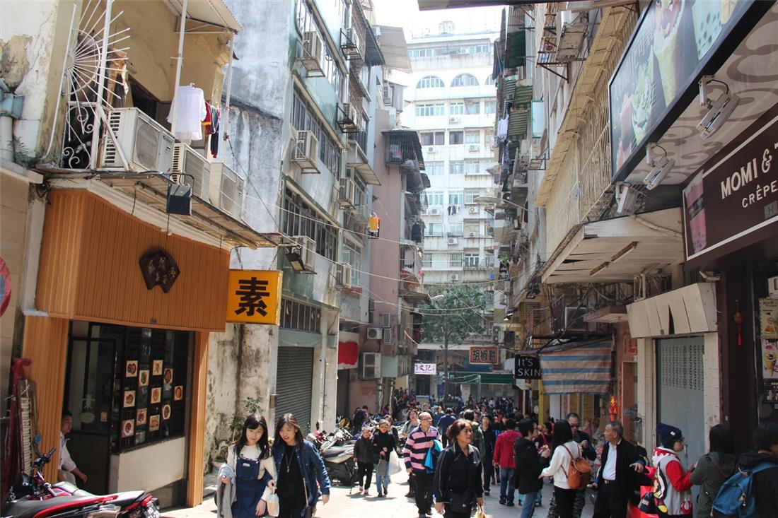
Located in central Macao Peninsula, Rua do Monte runs northeast-southwest with a length of about 80 metres and a width of approximately 6 metres. The road starts in Rua da Palha near Pátio da Cabaia and ends in Calçada da Rocha, with the earliest record of it found in the official bulletin published by the Portuguese administration of Macao on 26 July 1869. The Portuguese term “Monte” means “mountain”, which may refer to Monte Forte according to its geographical location.
The road is named after the Mount Fortress perching atop Monte Forte, which is also known as the Fortress of Our Lady of the Mount of St. Paul. The construction of the fortress began in 1617 and it was completed nearly ten years later in 1626. The current site of the Mount Fortress covers an area of about 8,000 square metres. Up the Mount Fortress, there is the square garden which is surrounded by walls, with four corners protruding to form four bulwarks. Apart from the north-western wall, the other three walls have cannons installed.
No. 4 Rua do Monte is the site of the Kao Yip Middle School. Formed in 1975 by merging the Hong Kao Middle School with the Ngan Yip Primary School, the Kao Yip Middle School offers pre-school education, preparatory class for primary education, six-year primary education, and six-year secondary education. On 23 January 2010, the secondary section of the school was relocated to the Zona de Aterros do Porto Exterior, Macao. The original site of the Kao Yip Middle School is currently used by the primary and kindergarten section.
Last Update :
Please use Chrome.
© Municipal Affairs Bureau, All rights reserved
Please use Chrome.
© Municipal Affairs Bureau, All rights reserved