


Avenida de Artur Tamagnini Barbosa
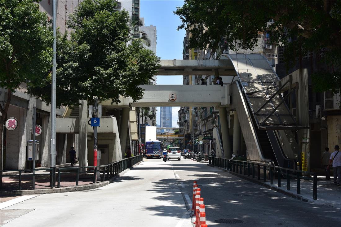
Avenida de Artur Tamagnini Barbosa, located in the Parish of Nossa Senhora de Fátima, starts between Avenida do Conselheiro Borja and Estrada do Arco and ends in Praça das Portas do Cerco. It is a straight cement road about 475 metres long and approximately 15 metres wide that runs from the south to the north. Its earliest record can be found in “Boletim Oficial da Colónia de Macau” published on 27 May 1933.
In order to relocate victims of a fire that broke out in 1928 in Toi San, single-storey houses were built by the Portuguese administration of Macao under the reign of Governor Artur Tamagnini de Sousa Barbosa and hence, the district was named “Artur Tamagnini Barbosa District”. The street that connected Avenida do Almirante Lacerda and Portas do Cerco was thus named “Avenida de Artur Tamagnini Barbosa”.
In the late 1980s, the single-storey buildings made of bricks were re-constructed into high-rises, taking on an entirely new look. They are now mostly used for both commercial and residential purposes. The ground floor of such buildings is often used as convenience stores, pharmacies and souvenir shops; the first floor and above are residences. In addition, the social housing in Edifício Dª. Julieta Nobre de Carvalho provides habitations for families with poor economic conditions or special difficulties at low rents offered by the government. As an important road to Portas do Cerco, the street sees a large flow of people, as well as commercial prosperity and heavy traffic.
Last Update :
Please use Chrome.
© Municipal Affairs Bureau, All rights reserved
Please use Chrome.
© Municipal Affairs Bureau, All rights reserved